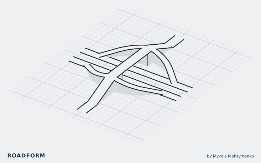
On real roads
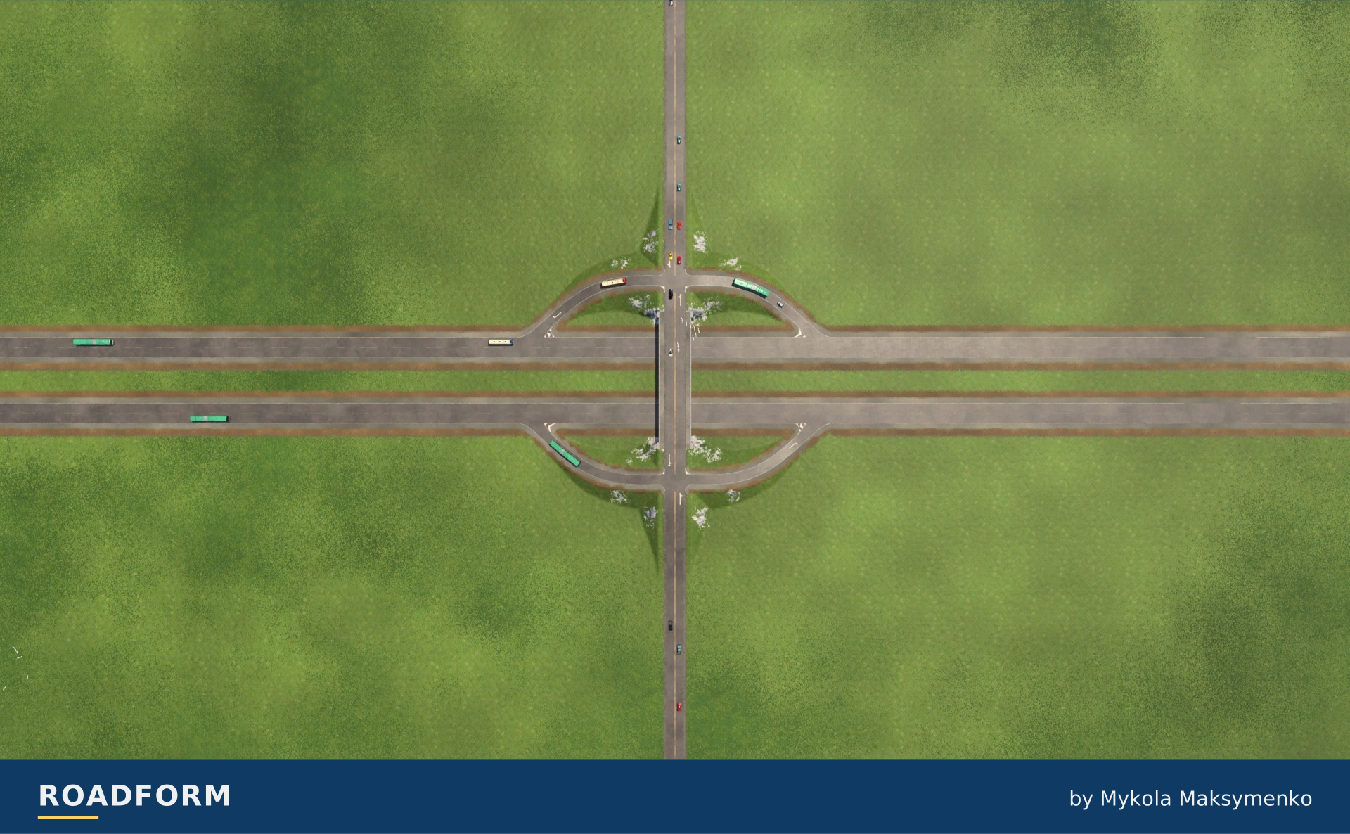
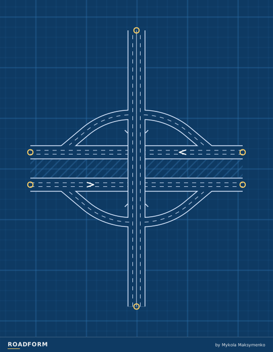
A diamond is four ramps and two ordinary junctions. Each direction of the highway leaves just before the bridge and rejoins just after it; the ramps meet the cross road at the two junctions, where every left turn is made.
The first diamonds with junctions where the ramps meet the cross road were built in 1941 on the Pasadena Freeway in Los Angeles. The freeway was built as a flood-control project that channelled the Arroyo Seco, and its narrow right-of-way left no room for anything wider.1
By the mid-1950s every basic interchange form had been designed and built.1 On 29 June 1956 President Eisenhower signed the Federal-Aid Highway Act, which set the National System of Interstate and Defense Highways at 41,000 miles (about 66,000 km) and paid 90 percent of its cost.2 Today the diamond is the most common interchange, especially in urban areas, because its layout needs relatively little land.3
It suits a major road crossing a minor one. The left turns cross the minor road's traffic at grade, and as that traffic grows, the two junctions become the bottleneck.4
Where to see one
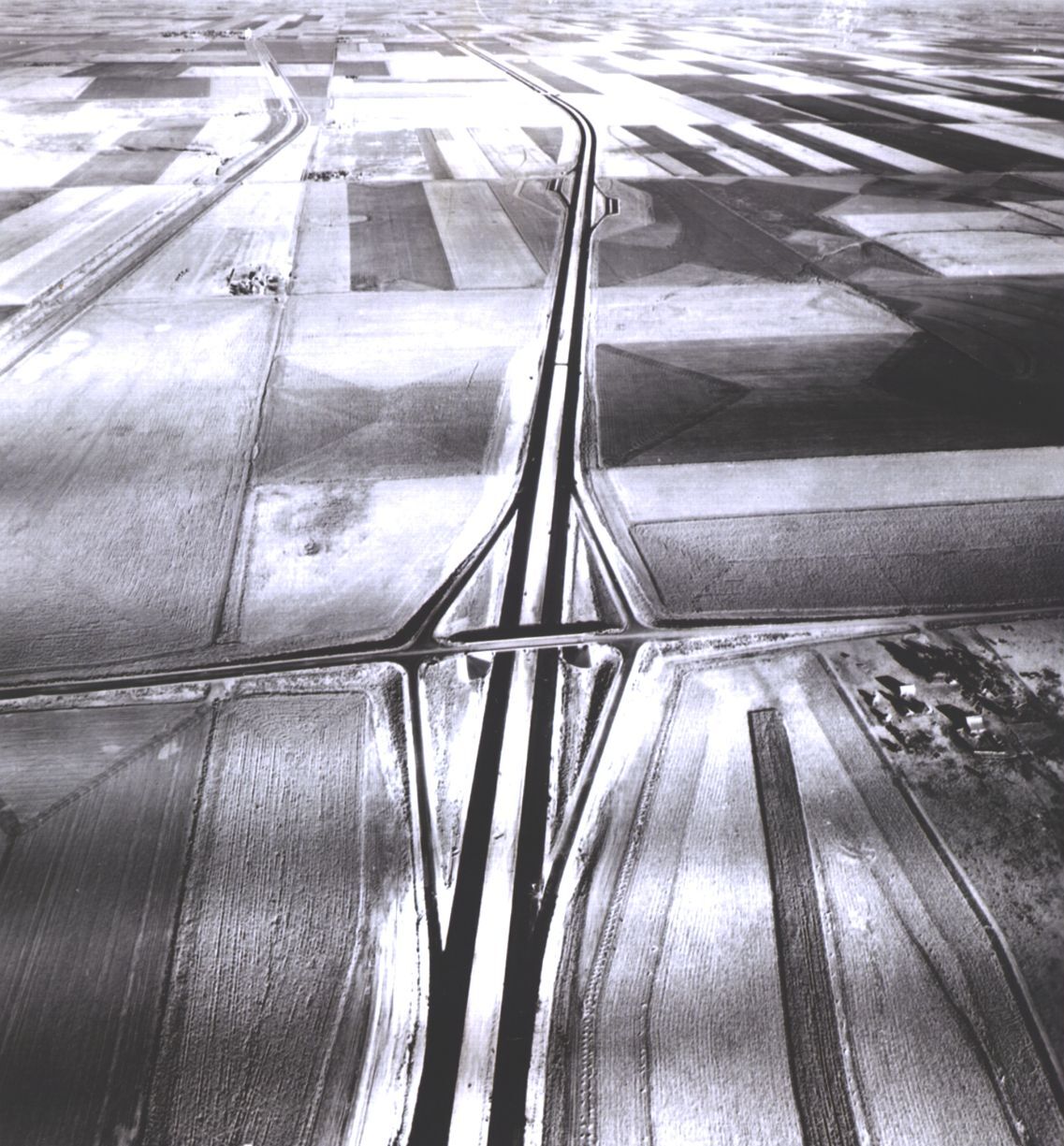
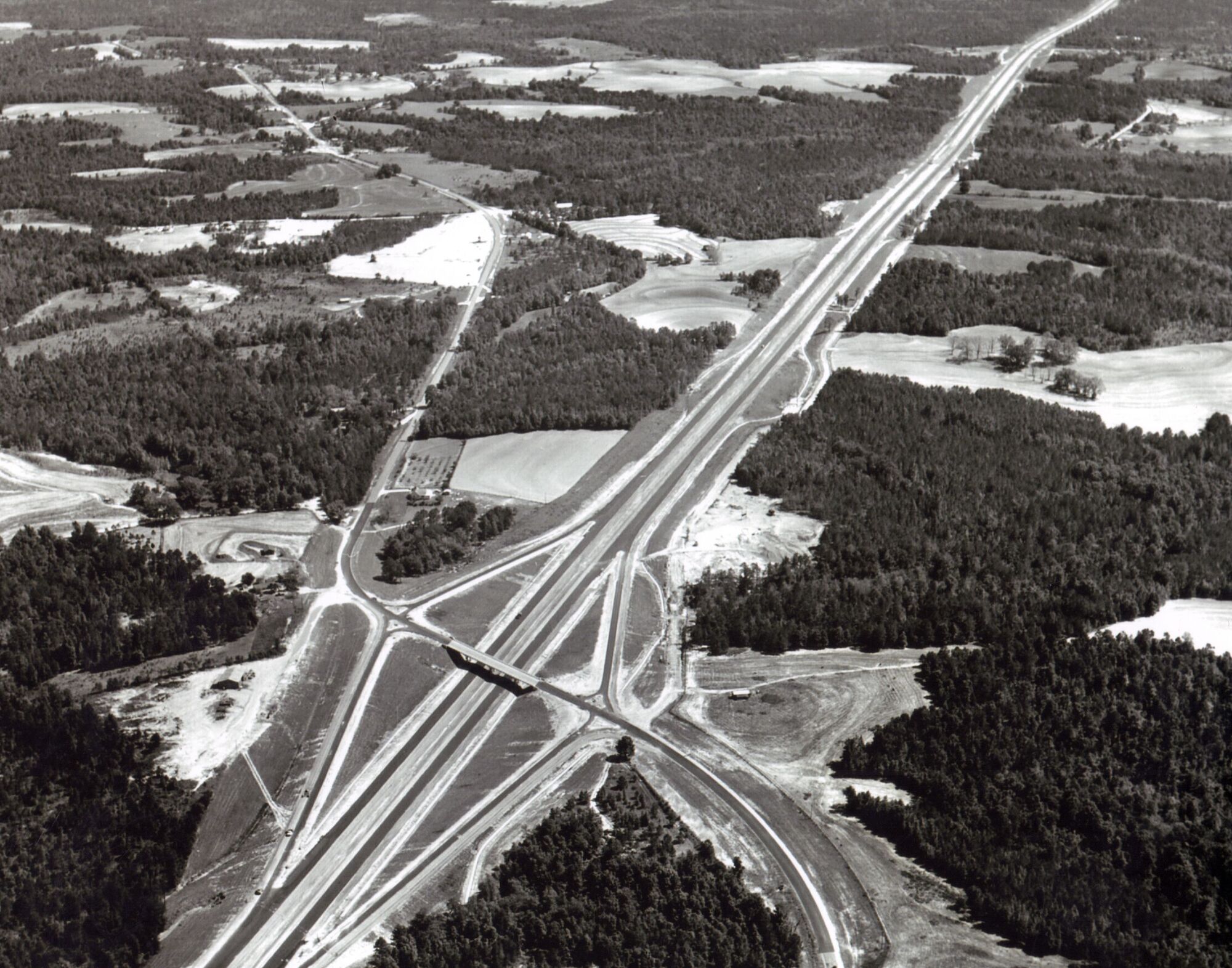
I-70 at Grainfield, Kansas, 1963. Federal Highway Administration, PD-USGov, source I-70 at K-23, exit 93, Grainfield, Kansas, US. Map
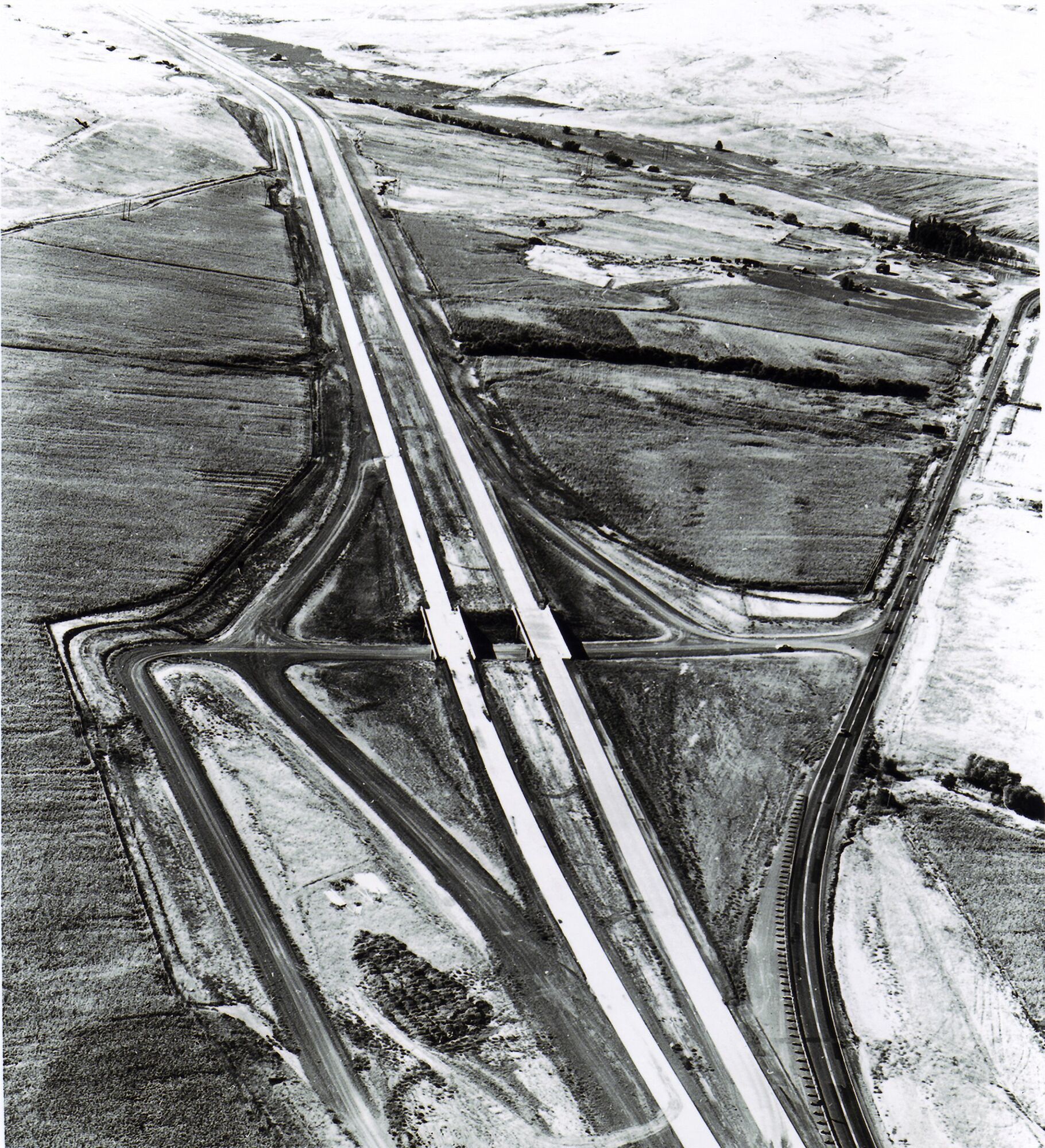
Farewell Bend Interchange on a newly built section of I-84 in eastern Oregon, 1968; old US 30 on the right. Federal Highway Administration, PD-USGov, source I-84 at US 30, exit 353, Farewell Bend, near Huntington, Oregon, US. Map
The Roadform adaptation
In Roadform
Highway to road interchange with two at-grade ramp terminals.
Reading the connections
TF3 · M · On top: Road · Traffic side: Right.
Scale and capacity
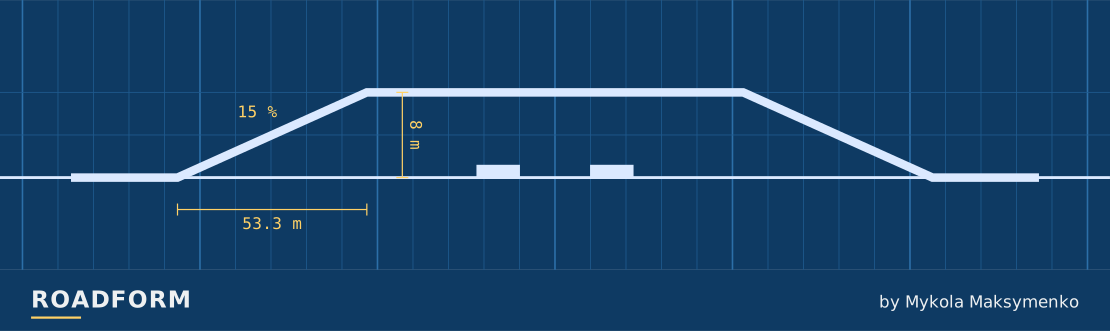
Size changes the road widths and the space the layout needs. The guide below uses the default arrangement. The layout reserves room for wider roads.
| Layout | Width × depth | Highest road | Lanes per direction |
|---|---|---|---|
| S | 210 × 261 m | 8 m | Highway: 2 Cross road: 1 Ramps: 1 |
| M | 210 × 273 m | 8 m | Highway: 3 Cross road: 2 Ramps: 2 |
| L | 230 × 281 m | 8 m | Highway: 3 Cross road: 3 Ramps: 2 |
Which road takes the bridge?
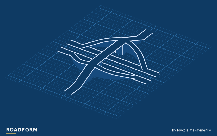
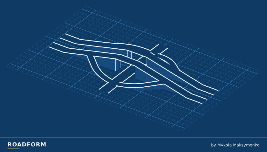
Choose which road runs above the crossing. This choice works with every form and size.
TF3 · M · Traffic side: Right. Heights ×3.
Sources and credits
- Evolution of Interchange Design in North America, J. P. Leisch and J. Morrall, Transportation Association of Canada, 2014. www.tac-atc.ca
- The Greatest Decade 1956-1966: Part 1 Essential to the National Interest, Federal Highway Administration. highways.dot.gov
- Roadway Design Manual, 15.3 Types of Interchanges, Texas Department of Transportation. www.txdot.gov
- Engineering Policy Guide, 234.2 Diamond Interchanges, Missouri Department of Transportation. epg.modot.org
- Diverging Diamond Interchange Informational Guide (FHWA-SA-14-067), Exhibit 4-3, Federal Highway Administration, 2014. rosap.ntl.bts.gov
Real-world photo credits accompany each image. Roadform figures and measurements use Transport Fever 3.