On real roads
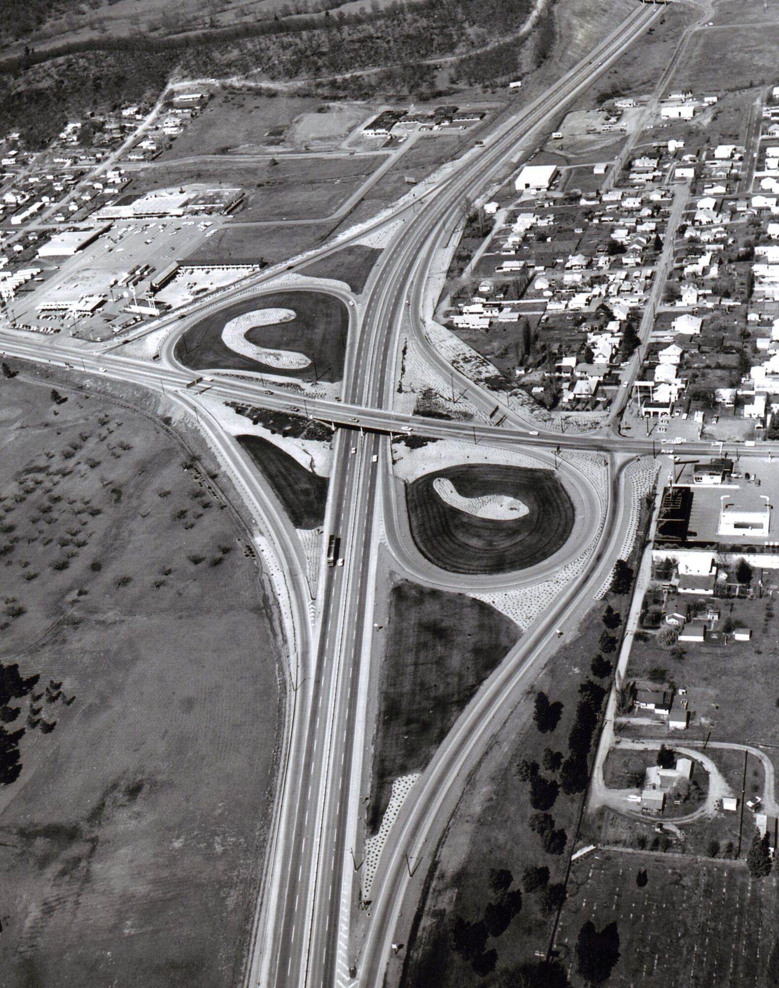
A partial cloverleaf, or parclo, has loops in one, two or three of the four corners between the roads, where a full cloverleaf has one in each.1 The loops remove the main left-turn conflicts, and outer ramps carry the remaining turns.1 Manuals name the forms by where the loops lie for a driver on the highway: before the cross road in a Parclo A, where they lead onto the highway, and beyond it in a Parclo B, where they lead off.2,3
In North America, after 1941 and into the mid-1950s, freeways were built mostly by local governments and toll authorities. Partial cloverleafs were among the interchanges of those years; Leisch and Morrall show one from 1950.4 By the mid-1950s every basic interchange form had been designed and built, the partial cloverleaf among them.4
From the late 1960s into the 1980s, engineers developed more efficient partial cloverleafs for suburban areas, some of them rebuilt from full cloverleafs. Leisch and Morrall picture a Parclo A on Highway 401 in Toronto and a Parclo B on Deerfoot Trail in Calgary, both with more capacity than most diamond forms.4 California's Type L-9 has loops that lead onto the highway in addition to the four ramps of a diamond.5 In a Parclo A built that way, each direction of the highway has two entrances in a row, the loop and the right-turning ramp, though the two may merge into one first.2,6 In Ontario, two entrances in a row from a Parclo A are common.6
In South Carolina's manual, a loop may be added where a left turn carries 500 vehicles an hour or more, so that it flows continuously.3 California's manual says a parclo with ramps in only two corners should be used only where something rules out diamond ramps in all four, such as the right-of-way, a railway along the cross road or a short weaving distance to the next interchange.5 With their loops in opposite corners, the A and B forms avoid a full cloverleaf's weaving.2 The loops need a lot of land.7 In a Parclo B they leave the highway, where drivers can find them hard to see.6
- Levels
- 2
- Loops
- 1 to 31
- Forms
- among them A, B, AB and single-loop; A, B and AB also with ramps in only two corners2
- Junctions with the cross road
- at grade; two in a Parclo A3
- Capacity
- between a diamond and a full cloverleaf3
- Loop capacity
- 800 to 1,200 vehicles an hour, in a single line8
- Suits
- suburban areas3
- Limit
- the land the loops need7
Where to see one
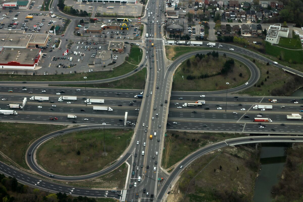
Highway 401 at the Weston Road interchange in Toronto, Ontario, 2015. formulanone, CC BY-SA 2.0, source, cropped, shown in greyscale Highway 401 at Weston Road, Toronto, Ontario, Canada. Map
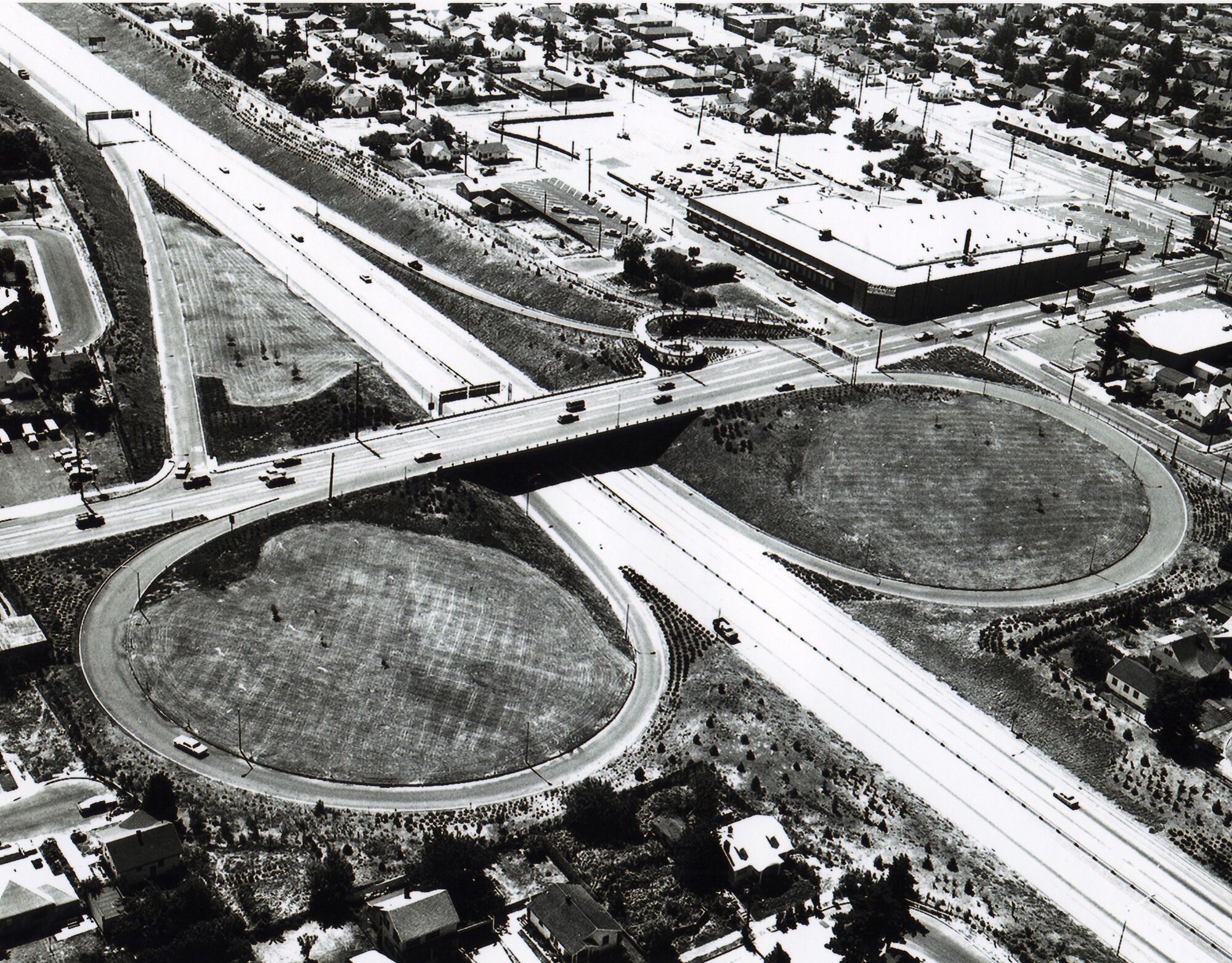
Lombard Street Interchange on Interstate 5 in Portland, Oregon, 1967, landscaped under a state program. The pedestrian spiral in the middle was built for safety. Federal Highway Administration, PD-USGov, source I-5 at Lombard Street, Portland, Oregon, US. Map
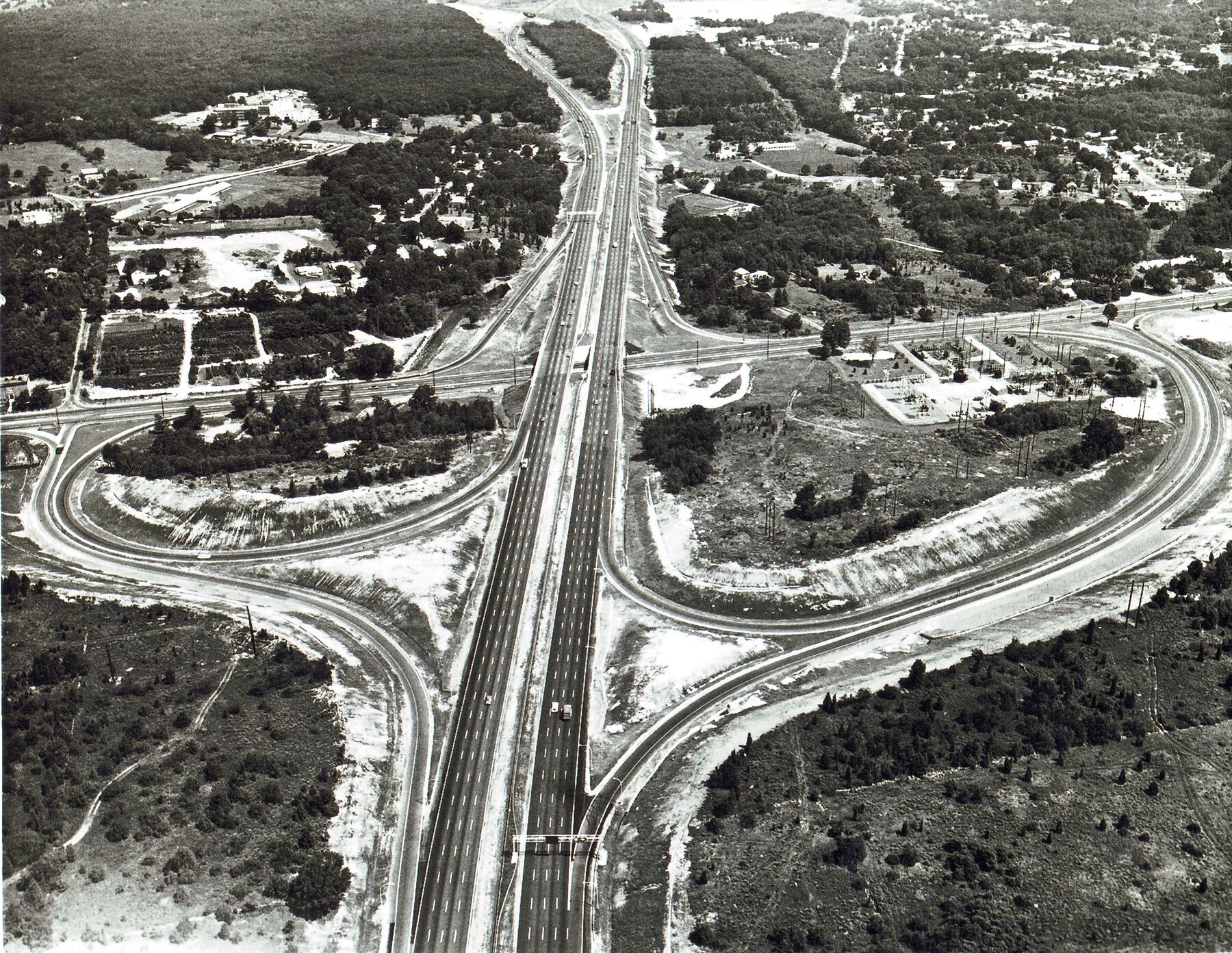
Centerville Road Interchange on I-95 in Warwick, Rhode Island, 1967. Federal Highway Administration, PD-USGov, source I-95 at Centerville Road, Warwick, Rhode Island, US. Map
The Roadform adaptation
What the loops change
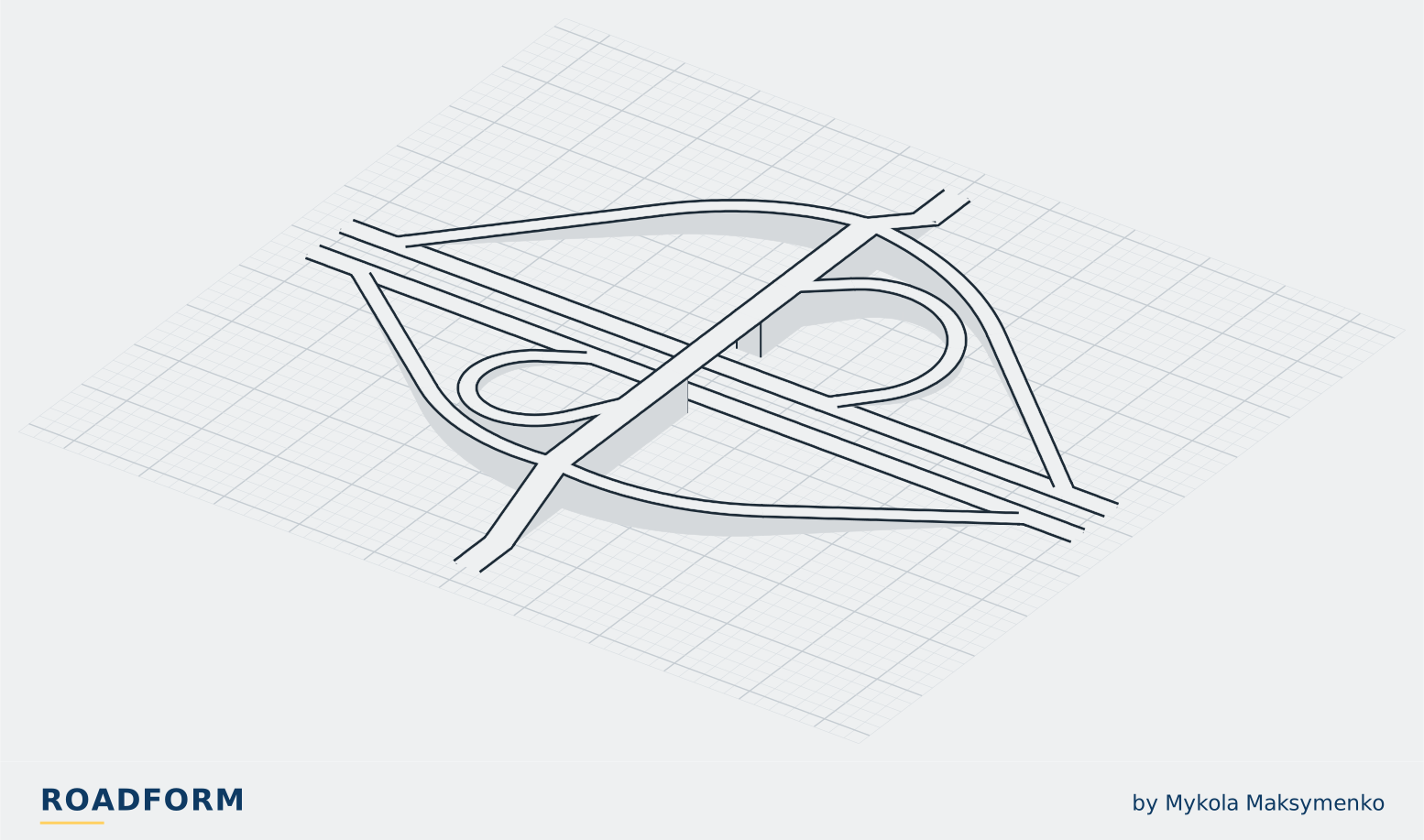
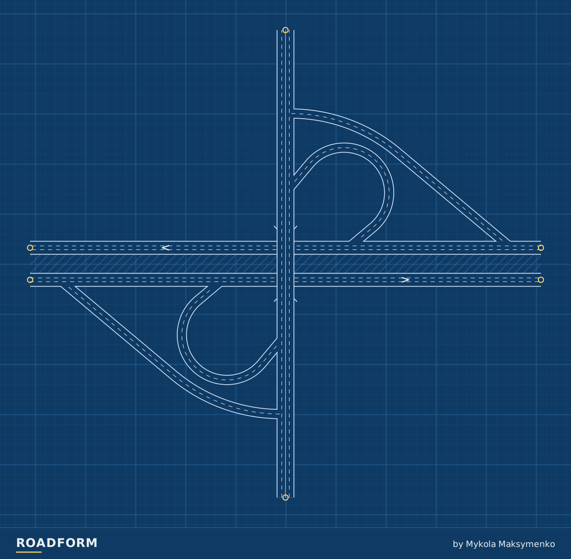
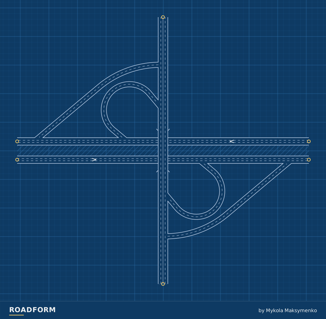
A loop can carry a left turn on a longer curving route. Parclo uses loops for traffic entering the highway or leaving it; direct ramps provide complementary connections.
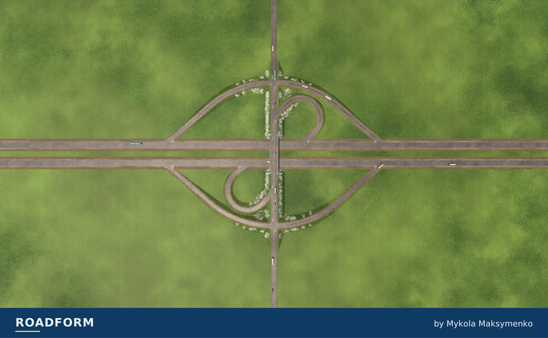
Four ways to use the loops
A puts the loops before the crossing to enter the highway; B puts them beyond it to leave. The two-corner forms keep the loops and remove the diagonal ramps they make optional.
TF3 · M · Road over highway · right-hand traffic.
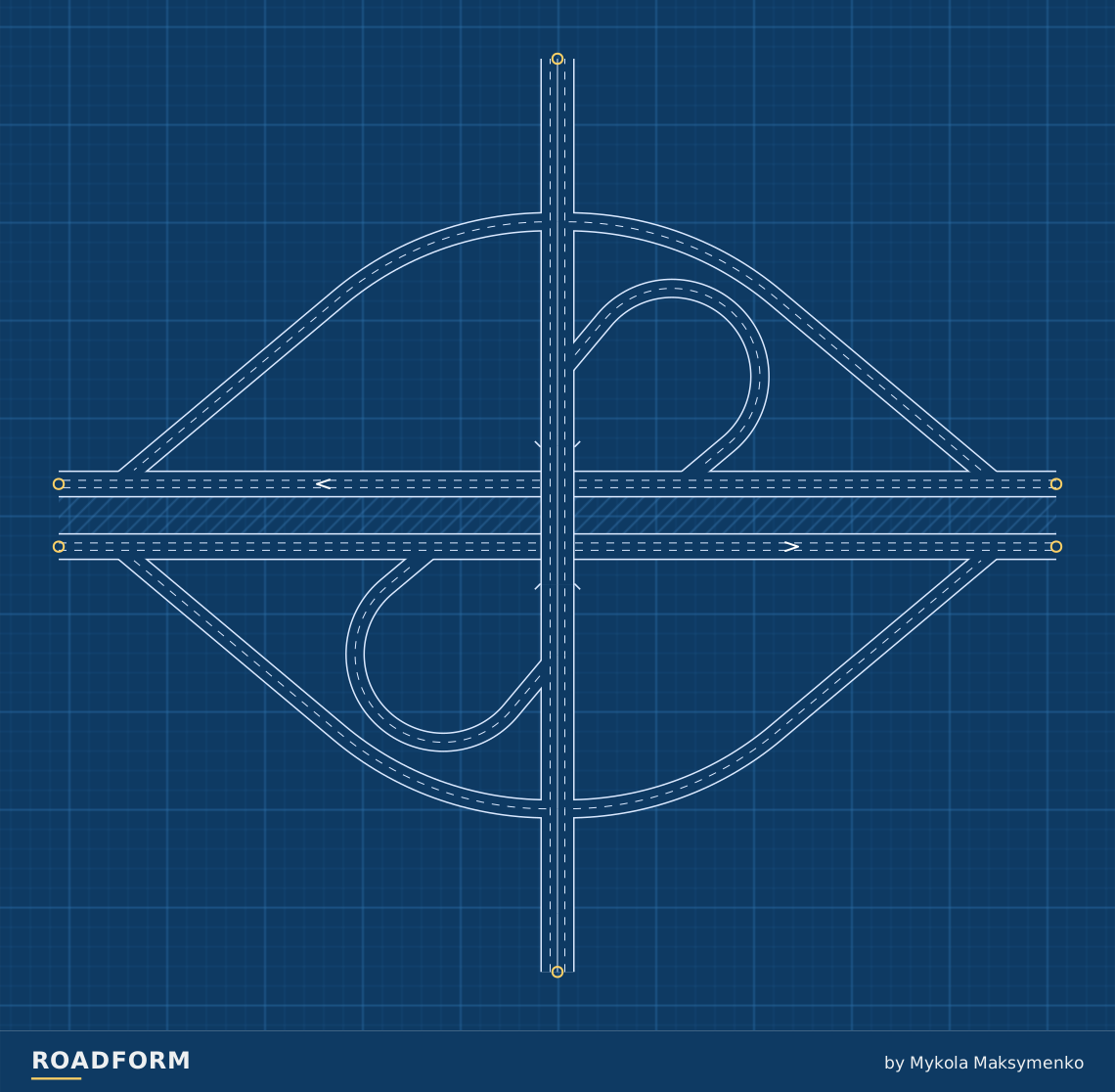
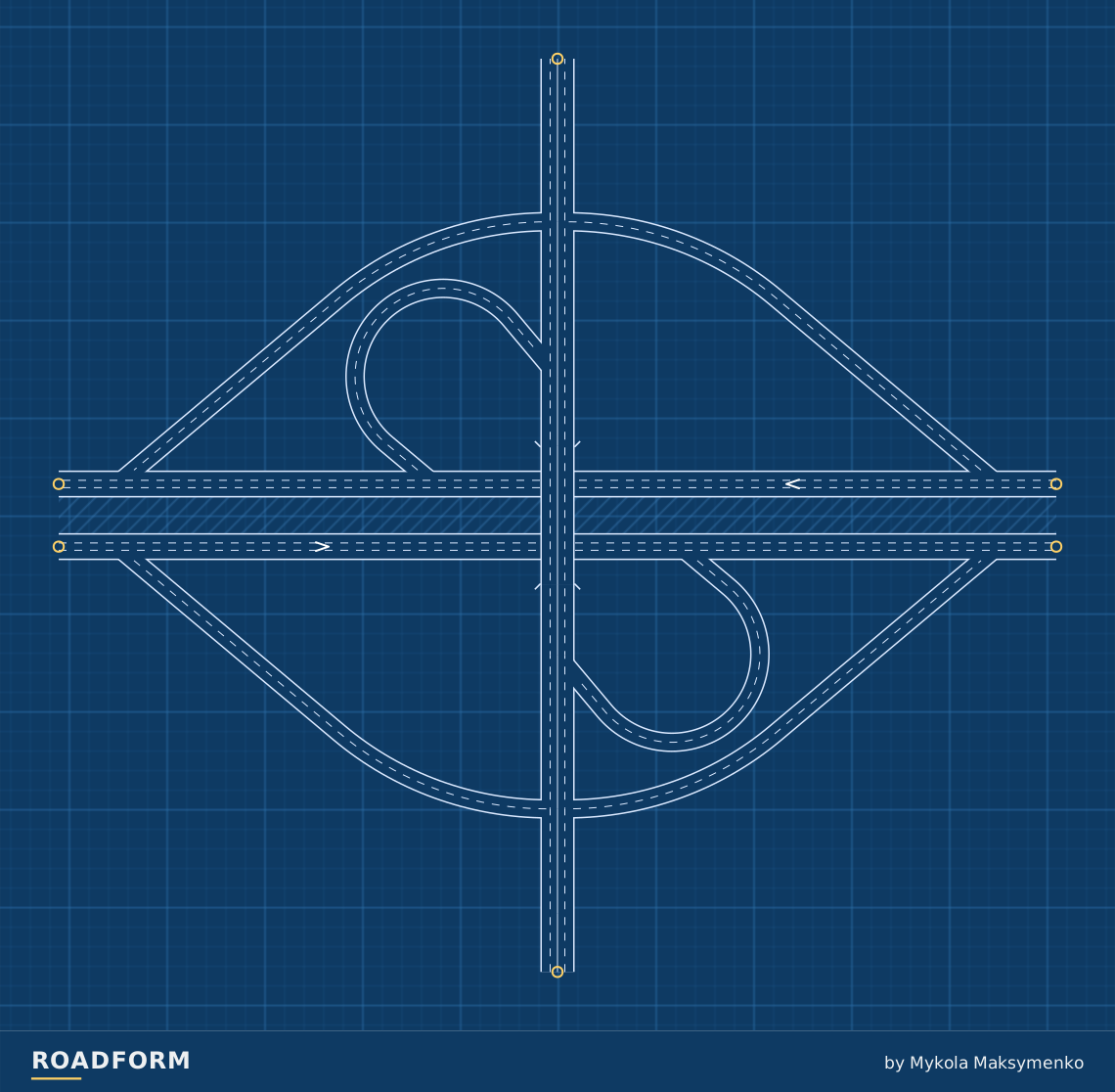
Three sizes, room to grow
Size changes the lane counts and loop radii. The layout reserves room for wider roads. Each of the four forms can use S, M or L.
| Layout | Width × depth | Highway | Cross road | Ramps / loops | Loop radius |
|---|---|---|---|---|---|
| S | 450 × 417 m | 2 | 1 | 1 | 35 m |
| M | 510 × 467 m | 3 | 2 | 2 | 45 m |
| L | 580 × 501 m | 3 | 3 | 2 | 55 m |
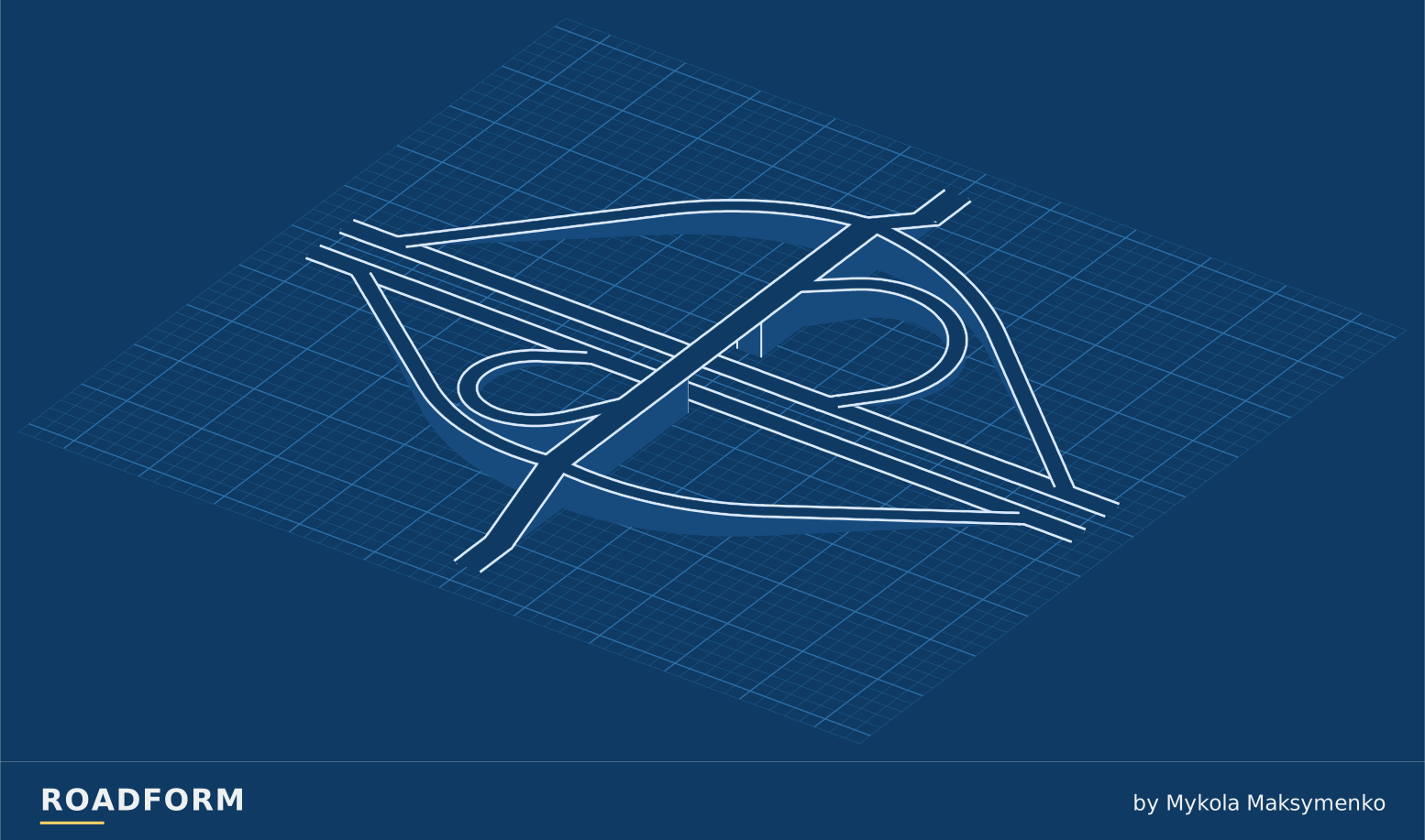
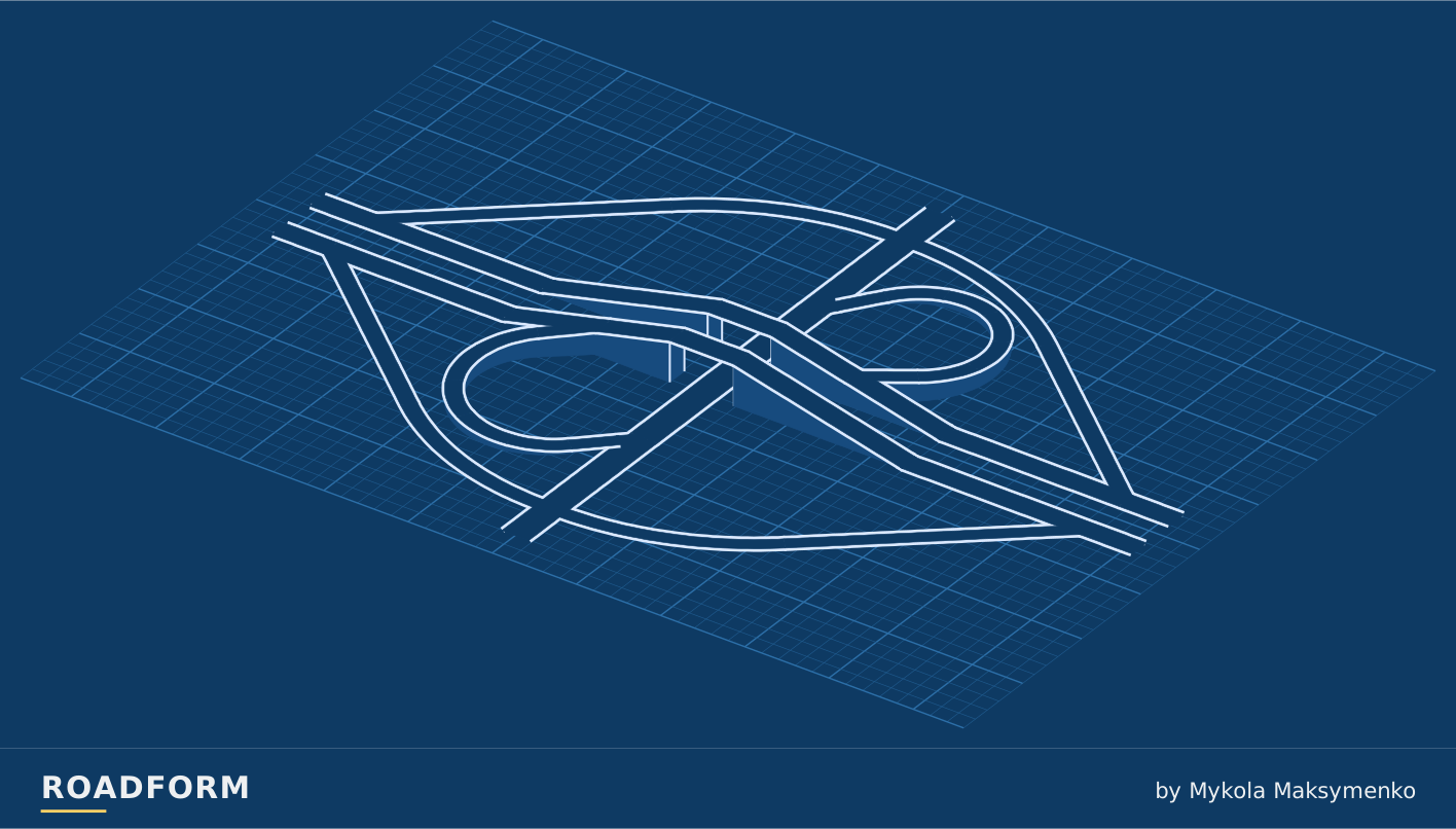
Which road takes the bridge?
Choose which road runs above the crossing. This choice works with every form and size.
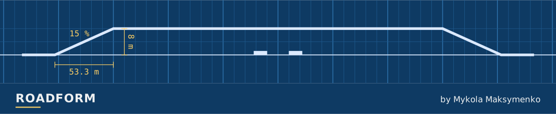
TF3 · A4 · M · right-hand traffic. Heights ×3.
Sources and credits
- Design Manual M 22-01.23, Chapter 1360 Interchanges, Washington State Department of Transportation, 2024. wsdot.wa.gov
- Indiana Design Manual, Chapter 48 Interchanges, Indiana Department of Transportation, 2025. www.in.gov
- Roadway Design Manual, Chapter 10 Interchanges, South Carolina Department of Transportation, 2021. www.scdot.org
- Evolution of Interchange Design in North America, J. P. Leisch and J. Morrall, Transportation Association of Canada, 2014. www.tac-atc.ca
- Highway Design Manual, Chapter 500 Traffic Interchanges, California Department of Transportation, 2023. dot.ca.gov
- Design Supplement for TAC Geometric Design Guide for Canadian Roads, draft of June 2023, Ontario Ministry of Transportation, 2023. tcp.mto.gov.on.ca
- Roadway Design Manual, 14.14 Partial Cloverleaf Interchange, Texas Department of Transportation. www.txdot.gov
- Engineering Policy Guide, 234.5 Cloverleaf Interchanges, Missouri Department of Transportation. epg.modot.org
Real-world photo credits accompany each image. Roadform figures and measurements use Transport Fever 3.